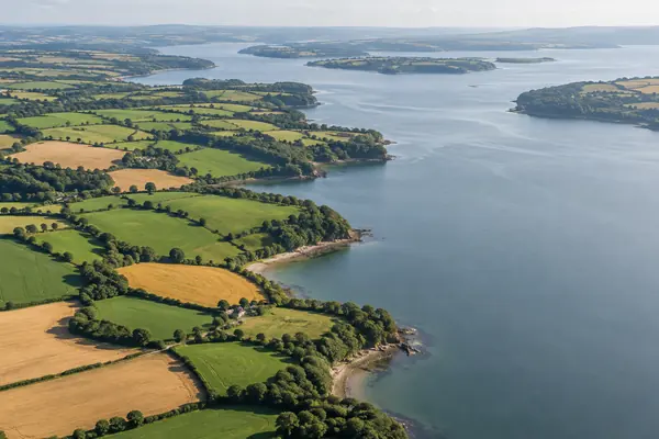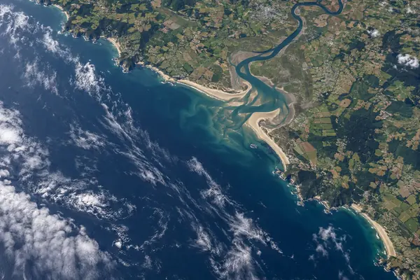
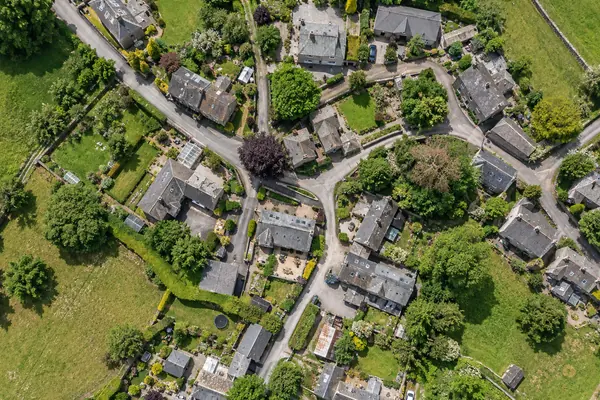
SPATIAL
Metres per pixel
Spatial resolution is the area of ground each pixel represents. NASA puts it simply: the lower the number, the more detail you can see.
Compare resolutionsPICTURES OF THE EARTH
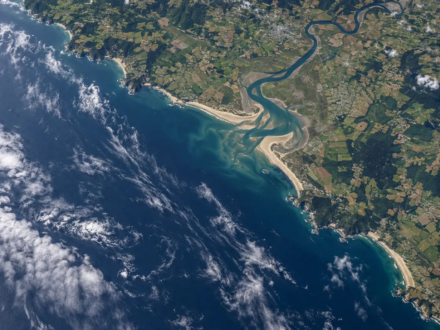
Every satellite photo is a grid of squares.
Each square, or pixel, stands for an area on the ground. The smaller that area, the more you can see. NASA calls this spatial resolution, and it is only one of four kinds of resolution that decide what an image can show.
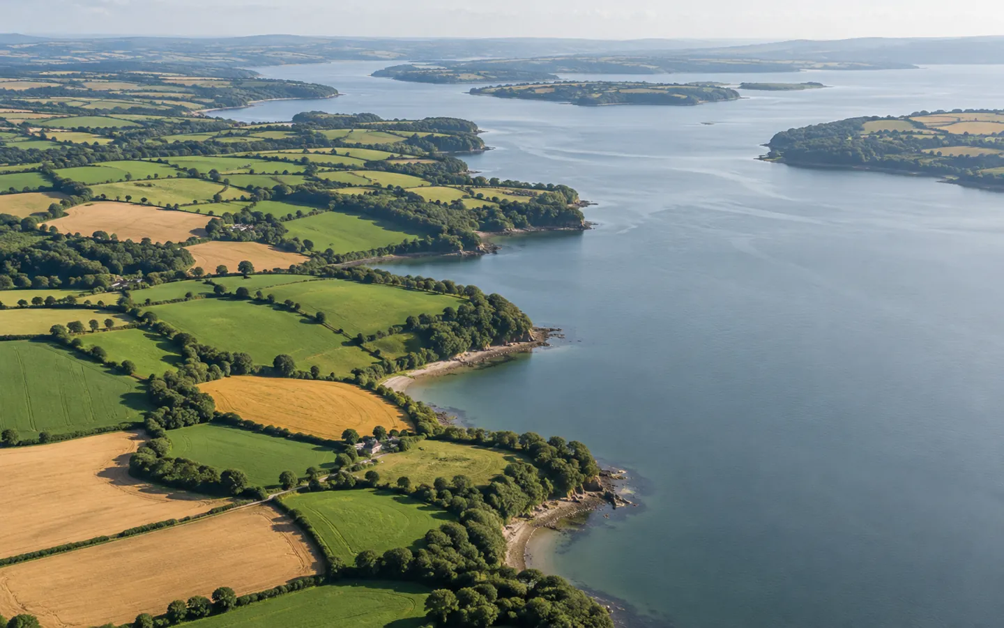
10 m per pixel from Sentinel-2
THE SHORT ANSWER
Pictures of the Earth are measured in metres per pixel.
Smaller numbers mean finer detail.
SPATIAL
Spatial resolution is the area of ground each pixel represents. NASA puts it simply: the lower the number, the more detail you can see.
Compare resolutionsTIME
A satellite only sees a place when it passes over. The two Sentinel-2 satellites revisit every 5 days; Landsat 8 and 9 together, every 8 days.
See the numbersTRADE-OFF
NASA explains that high spatial resolution needs a narrower swath, which means more time between views of the same area. No instrument does everything.
Read an imageA QUICK COMPARISON
Pick an image source to see the size of the patch of ground behind each pixel. The bar shows how fine the detail is: a longer bar means a smaller patch.
Figures from NASA, ESA and the APGB programme. Each pixel is a square of the stated width.
TWO NUMBERS WORTH KNOWING
One figure on detail from space,
one on how quickly satellites come back.
10m
Sentinel-2 finest resolution
Sentinel-2 carries a wide-swath multispectral imager with 13 bands. Sentinel-2A launched in 2015, 2B in 2017 and 2C in September 2024.
DETAIL · ESA
8days
Landsat 8 and 9 together
Each Landsat satellite repeats its track every 16 days. Flying together, Landsat 8 and 9 observe the same place every 8 days.
REVISIT · NASA
Landsat 1 orbited the planet every 18 days at 80 metres per pixel. Its digital scanner, first treated as an experimental extra, proved better than the analogue television-style camera it flew with.
FOUR THINGS TO CHECK
NASA lists four kinds of resolution. Knowing them helps you understand what any picture of the Earth can and cannot show.
How much ground each pixel covers. Lower numbers mean finer detail.
How long before the satellite sees the same place again. Weather work needs this to be short.
More and narrower bands of light help tell rock and mineral types, and types of vegetation, apart.
How finely brightness is recorded. NASA notes 8 bits gives 256 possible values per pixel.
FROM SPACE OR FROM A PLANE?
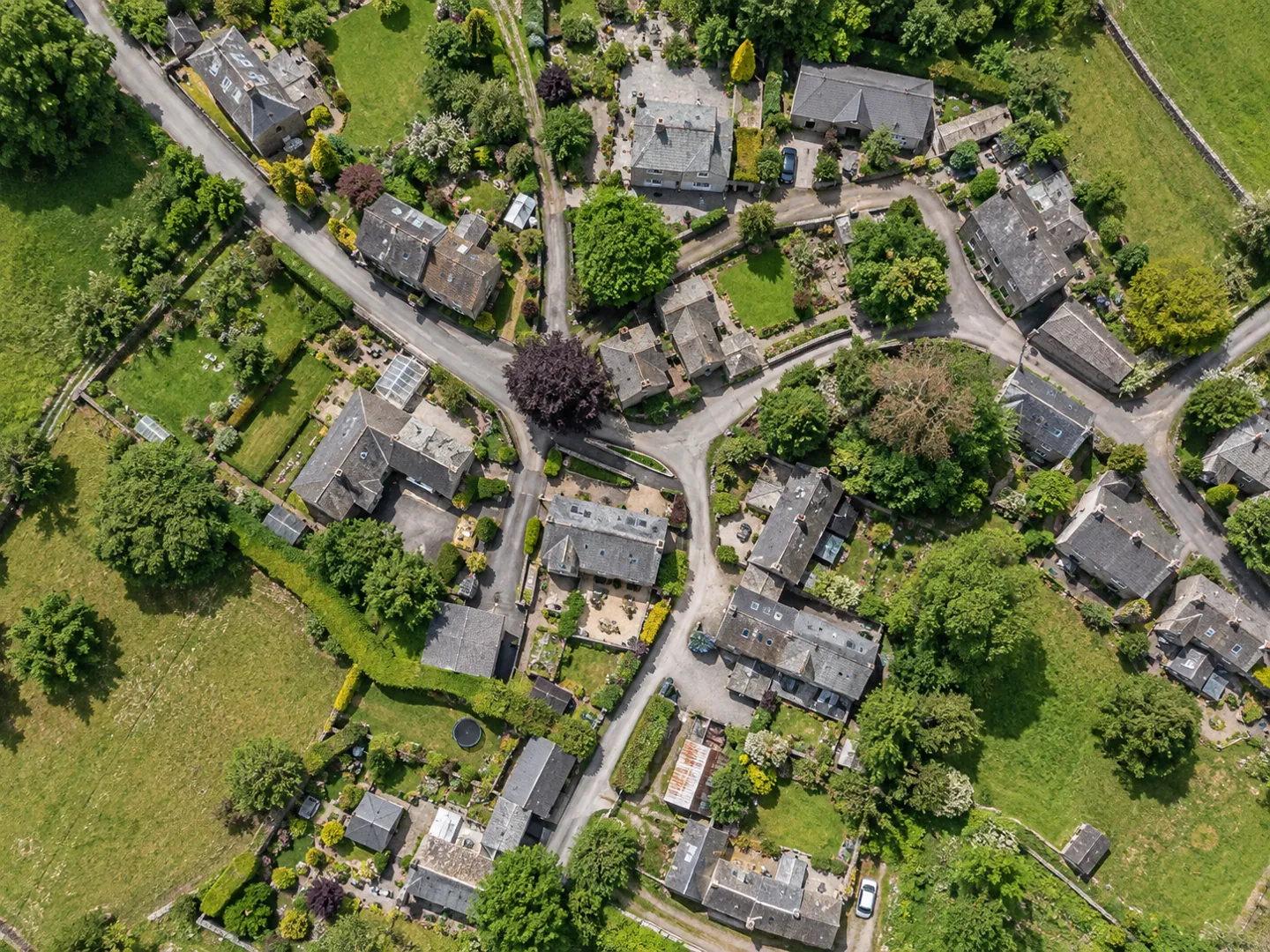
The sharpest images in this comparison come from aircraft, not satellites. The Aerial Photography for Great Britain programme supplies government with aerial photos and height data, captured by survey companies on a rolling three-year update.
Satellites trade detail for reach and repetition. Landsat 9 flies at 705 km and images more than 700 scenes a day, which is why its archive is used for watching forests, crops and water change over years.
Questions
Each pixel in the image represents a square of ground 10 metres across. NASA explains that the finer the resolution, the lower the number and the more detail you can see.
Instruments are built for different jobs. MODIS uses 1 km pixels for most bands but sees the Earth every 1 to 2 days; Landsat sees finer detail at 30 metres but revisits each place every 16 days.
NASA says it is hard to combine high spatial, spectral and temporal resolution: finer detail needs a narrower swath, which means more time between views of the same area.
Landsat 1, first called ERTS-1, launched on 23 July 1972 as the first satellite mission dedicated to monitoring Earth's land surfaces. It worked until January 1978 and collected over 300,000 scenes.
Much of it is aerial photography. APGB provides 25 cm imagery for all of Scotland and 12.5 cm in parts, captured from aircraft on a rolling three-year programme.
Sources
ABOUT THIS NAME
hidefinitionreview.com is part of the DoodleSale portfolio. It isn't in an auction right now, but you can ask about leasing it.